Hardware
Professional mobile mapping systems
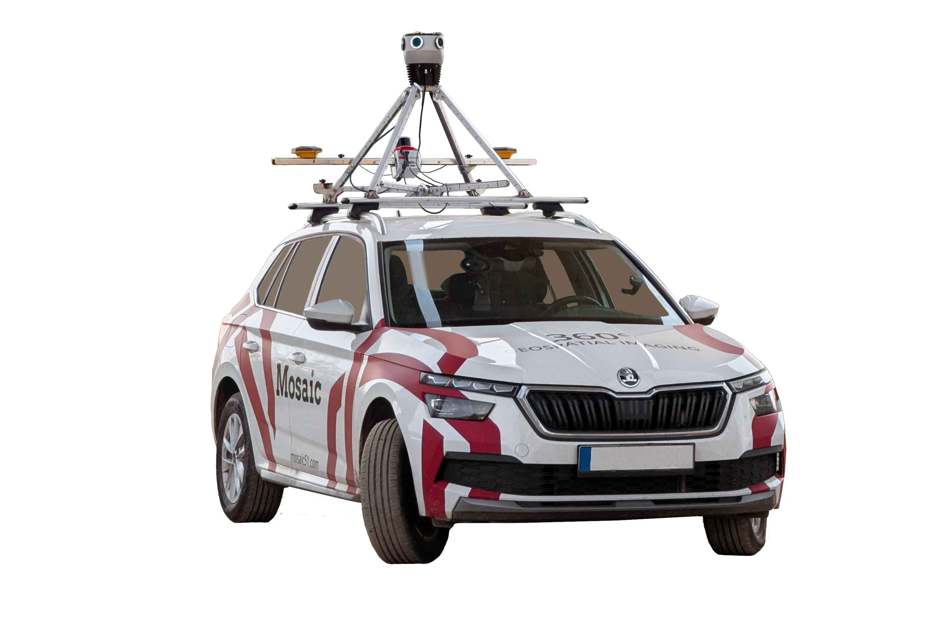
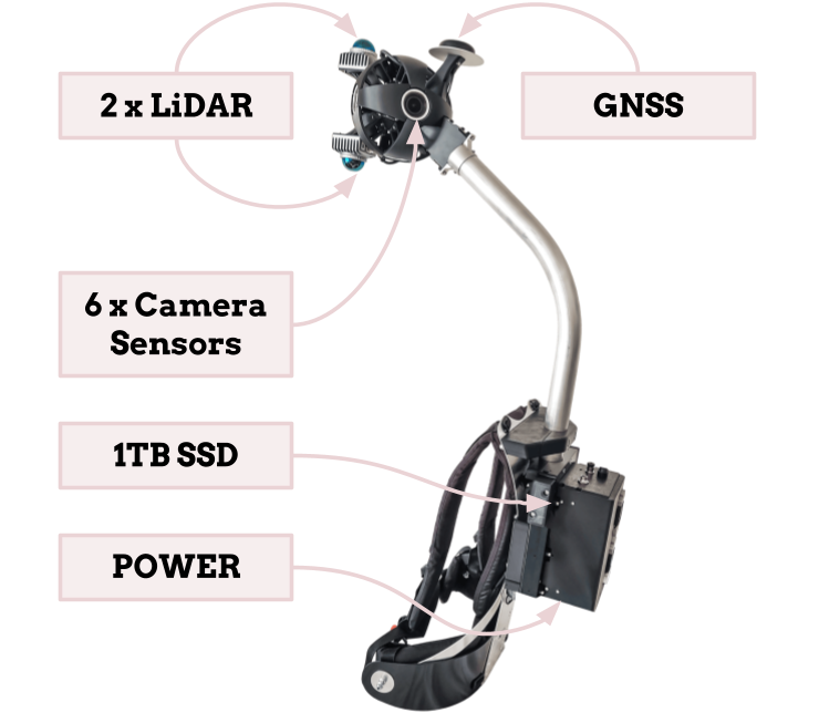
Twinworks is the exclusive authorized reseller of Mosaic mobile mapping systems in Canada. Mosaic cameras are purpose-built for infrastructure data collection — high-resolution 360° imagery, integrated LiDAR, and precise GNSS in a rugged, vehicle-mounted package.
We help you select the right system for your workflow, get it deployed, and build the collection process around it. The hardware is the starting point; the intelligence is the goal.
Authorized Reseller — Canada
Exclusive partner for Mosaic mobile mapping systems
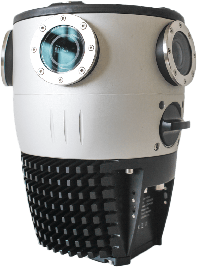
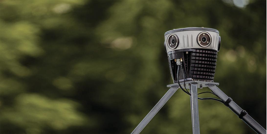
Mosaic X
360° mobile mapping · LiDAR ready · GNSS integrated